
Contact Us
The Agrosense Digital Platform
Monitor your crops with easy-to-use digital tool
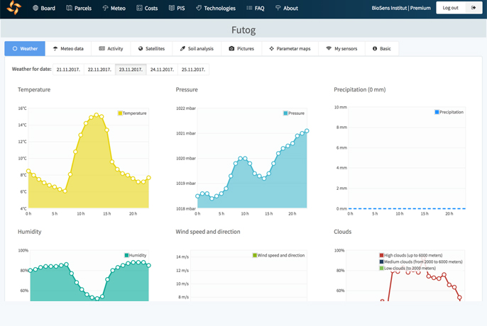
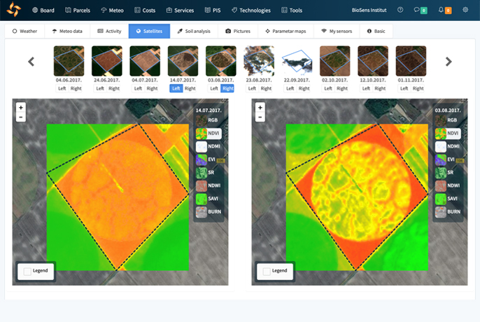
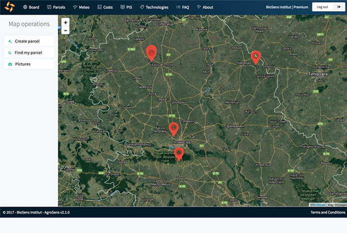
The AgroSense platform enables farmers to monitor their crops and plan activities using mobile phones or computers, based on the data collected from satellites, drones, different sensors and meteorological stations. Thanks to the satellite imagery, farmers can see vegetation indices that will give them the information about the growth of crops, drought intensity, dispersion of plant diseases and the plants’ needs for irrigation and fertilization. Farmers can also keep digital diary of the production, get data from sensors and meteorological stations, conduct cost analysis, get warnings about pest etc.
Thanks to the ANTARES project, the Republic of Serbia became the only associate country to the European Union to sign the Cooperation Arrangement with the European Commission on cooperation in data access and use of Sentinel data of the Copernicus Programme. This has allowed BioSense to become a focal point of the Republic of Serbia for the Copernicus program and to use a free broadband access to all Copernicus data to the direct benefit of the regional agrifood community, through our AgroSense platform.
As of 2020, AgroSense has more than 15, 000 users and registers around ¼ of all arable land in the Province of Vojvodina.
For more information on AgroSense platform, click here.
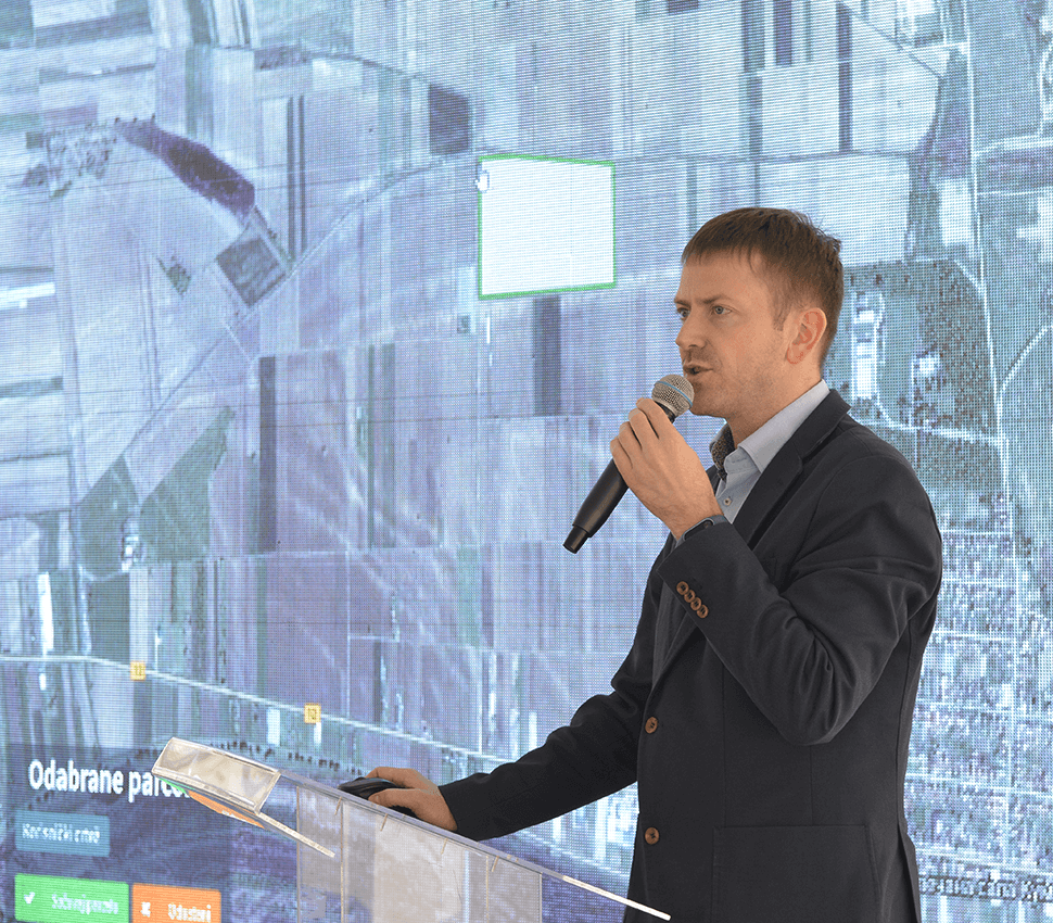
Agrosense trainings
We have organized several AgroSense training sessions that were open for all interested platform users. The trainings were also an excellent opportunity to meet our users, exchange ideas and hear their suggestions regarding the future development of the AgroSense services, so that all services correspond to their needs.
During the training sessions, participants had the opportunity to learn how to use AgroSense services, keep track and plan their activities, use satellite imagery technology for crop monitoring, calibrate machines, analyze costs, monitor weather conditions, and make the most out of the data collected from various sensors and devices. Around 60 people attended the trainings.
×
![]()
